Bowness-on-Solway
Roman name: Maia- Managed by
- No formal visitor site; village & church
- Nearest stage
- End of Stage 6
- Getting there
- Bus from Carlisle
- Built
- c. AD 122–128
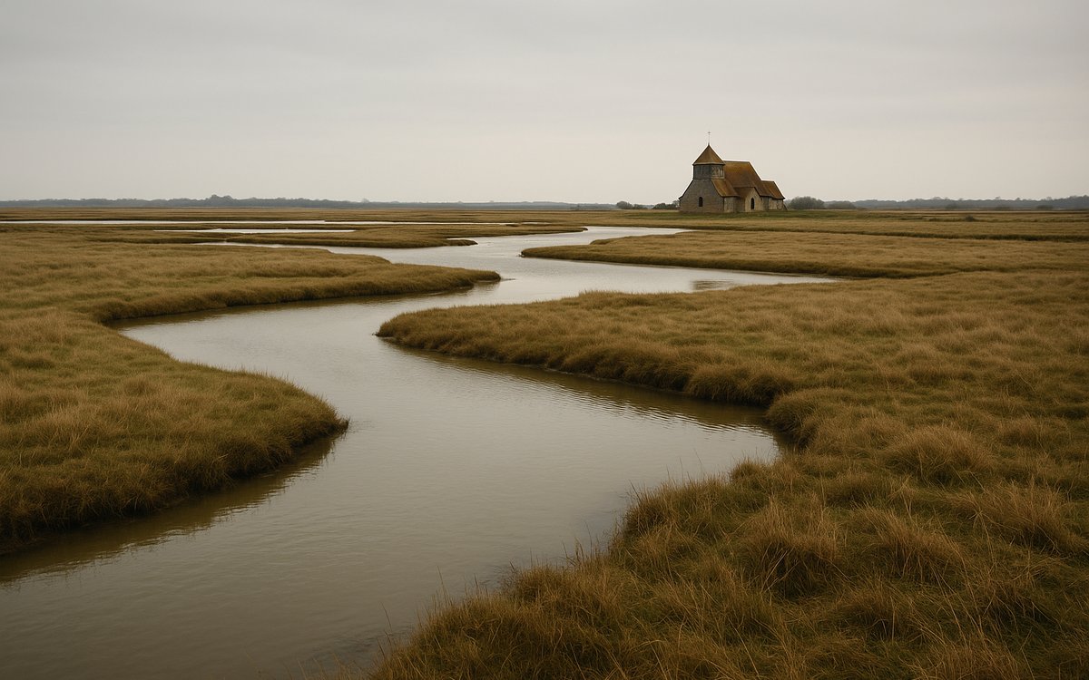
01 Where the wall turns to earth
Bowness-on-Solway was the site of Maia, the second-largest fort on the entire wall — a scale generally read as evidence of the fort's importance guarding the approach from the Solway Firth, the wall's western sea-to-sea terminus. Almost nothing of the fort stands visibly above ground today; the village itself is largely built over the site, and reused Roman stone from Maia can be seen worked into the walls of the Norman-era parish church of St Michael.
02 Visiting
Bowness-on-Solway has no railway station; Carlisle, on the West Coast Main Line, is the nearest, roughly 15 miles away by road, connected by a local bus service with a considerably thinner timetable than the 122 further east. See getting there for current details.
03 Why the wall changes here
By the time construction reached this far west, the Romans had switched from stone to turf-and-timber building, and the coastline itself continued the frontier system south with a chain of milefortlets and watchtowers along the Cumbrian coast, linked by a wooden palisade rather than a continuous wall — a different construction answer to the same problem the stone wall solved further east.
04 How big, exactly
Maia covered around 7½ acres (3 hectares) — the second-largest fort on the entire 80-mile wall, smaller only than Petriana at Stanwix on the northern edge of modern Carlisle, itself the wall's largest fort and probable military headquarters.