- Setting out
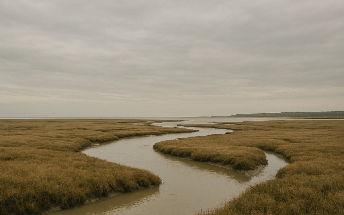
Standing wall is left behind almost entirely by this stage — this far west, the Romans originally built in turf and timber rather than stone, since local limestone for mortar ran short. The trail follows the flat, tidal Solway estuary out to the finish.
- Landmarks en route
Wide-open estuary views rather than dramatic archaeology, ending at Bowness-on-Solway, site of Maia — the second-largest fort on the whole wall — where reused Roman stone sits in the walls of the Norman-era church of St Michael.
- Arriving & practicalities
Bowness-on-Solway has no railway station of its own; plan your onward journey back to Carlisle by bus or taxi before you arrive, not after. See getting there for current transport options.
- Respect the tide
The Solway Firth's tide comes in fast across flat sand and mudflats — the trail itself stays on the raised bank and is safe underfoot, but this is not a coastline to wander off-path onto at low tide without local knowledge; several fatalities over the years have involved walkers or vehicles caught out on the sands themselves, not the waymarked trail.